The days of getting lost in a trail are long gone. Now you can use Apple Watch compatible navigation apps to explore known and unfamiliar places without losing your way.
Whether you want to find the shortest route to drive to a destination or you want to explore a new place without constantly stopping by to ask people for direction, these navigation apps can be hands down your guide.
And the best part is? You can plan, map, and track routes in real-time on your wrist, without ever having to reach out for your iPhone.
Key Takeaways
- Your options include Apple Maps, Google Maps, View Ranger, Gaia GPS, Magic Earth, ETA, and Topo Maps.
- These are free to download, easy to use, and they’re even compatible with Apple’s latest watchOS 10.
- You get real-time direction and traffic information, so you can maneuver from place to place with minimal distractions.
- These apps are compatible with most models, including Series 8, Series 9, and Ultra.
Best Apple Watch Compatible Navigation Apps
Take advantage of these Apple Watch apps and turn your wearable into a functional GPS tracker that gets the job done:
1. Apple Maps
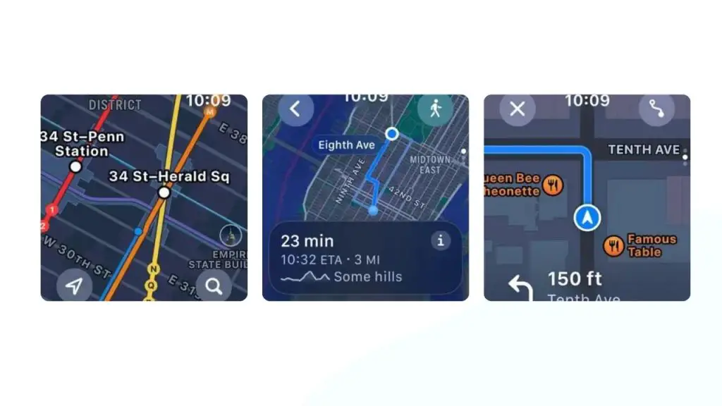
Get Apple Maps if you’re into driving, cycling, walking, and public transportation. It provides directions and it estimates the time left to complete a travel.
You can view your routes over regular maps, hybrid views, satellite views, and public transit views. You can switch the app to Flyover mode to display densely populated areas in a 3D landscape composed of buildings and structures.
Apple Maps uses vector graphics to save or use less data, thus giving you a means to save money on your cellular plan.
Price: Free
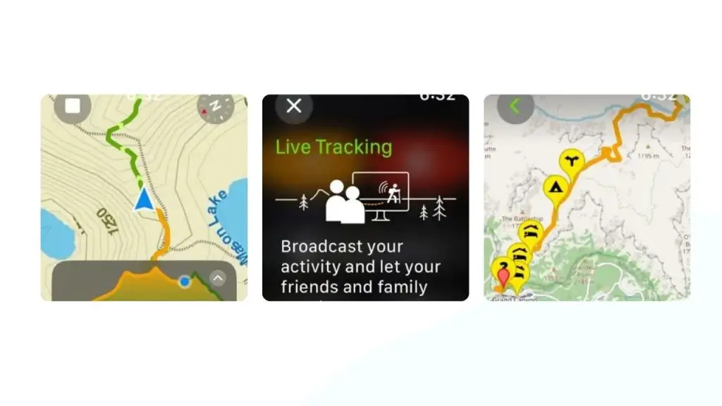
2. Topo Maps+
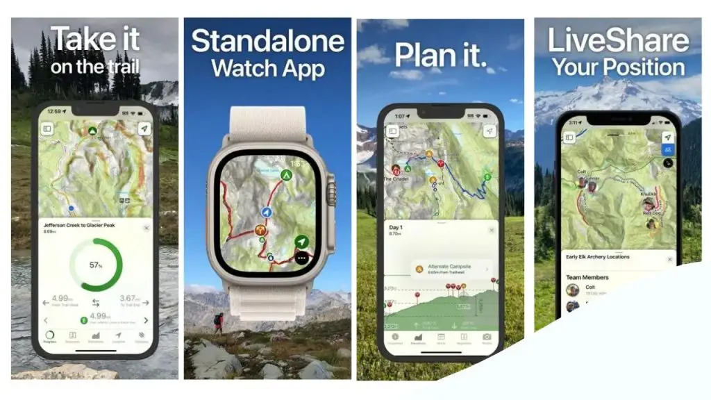
Do you have an adventure plan and need a navigation app that can guide you along the way? Get Topo Maps+.
With Topo Maps+, you can:
- Customize your map for a more personalized view by combining various overlays.
- Download and compare maps with the built-in smart route-building tools.
- Use the share and team building feature to share your last known location with the members of your teams, so they can find you if you have an incident, feel lost, or can’t move from the last location you shared.
Price: Free
3. ETA GPS & Maps Driving Times
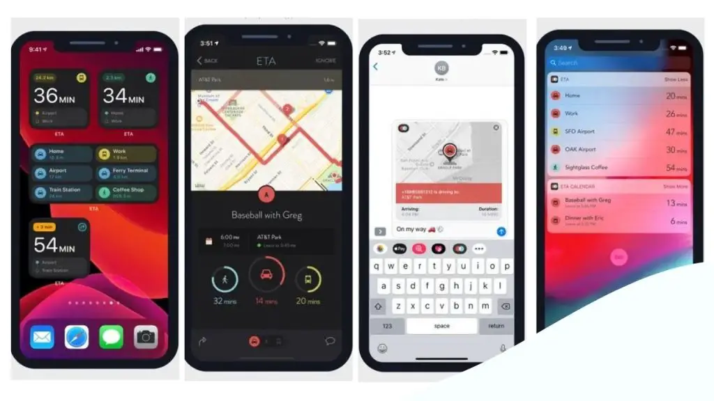
One of the reasons to get ETA it can estimate the time left before you reach your destination whenever you use public routes of transportation.
More importantly, you’re able to get quick access to traffic conditions in real-time. And it even includes a calendar functionality, which you may or may not find useful depending on how you use GPS and Maps.
ETA is compatible with a few other navigation apps, including Google Maps, City Mapper, Waze, and Transit.
Lastly, ETA has a clean, easy to use home screen, which displays all the necessary information including travel time.
Price: Free
4. Wikiloc Outdoor Navigation GPS
Wikiloc offers offline topographic maps, so you don’t have to connect your Apple Watch to Wi-Fi to monitor your routes.
- Start your adventure with the advanced search filter. This is your tool to select a specific location on the map before you hit the ground running.
- As you travel and discover places around the world, the app will record your routes and upload photos of your journey to your Wikiloc profile.
Wikiloc can even detect if you are off track while tracking your journey live. If it does, it sends out sound alerts to let you know you need to get back on track.
Apart from mapping your routes, this GPS tracker can display weather forecasting on Apple Watch, and this information can help you decide whether to wear lightly or heavily.
Price: Free
5. Google Maps
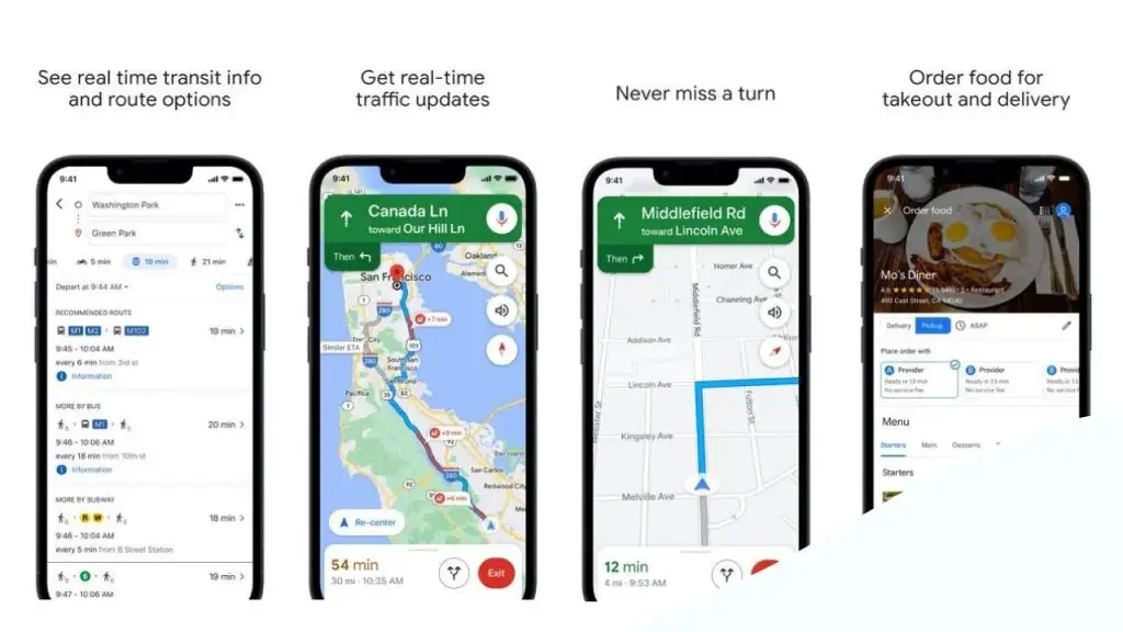
I love using Google Maps because it is fast and has approximately 220 countries and territories around the world mapped into its system.
This navigation app allows you to:
- See business areas nearby and beyond. Some businesses display their opening and closing hours, which allows you to plan your visit accordingly.
- Use the automatic re-routing to get real-time suggestions, so you can save time and make your movement from point A to B easier.
Google Maps displays street view and indoor imagery in a clear and easily accessible way. Therefore, you should receive helpful and comprehensive real-time traffic conditions and estimate time arrivals.
It even includes an option you can use to create a list of important locations in the app.
Price: Free
6. Outdooractive
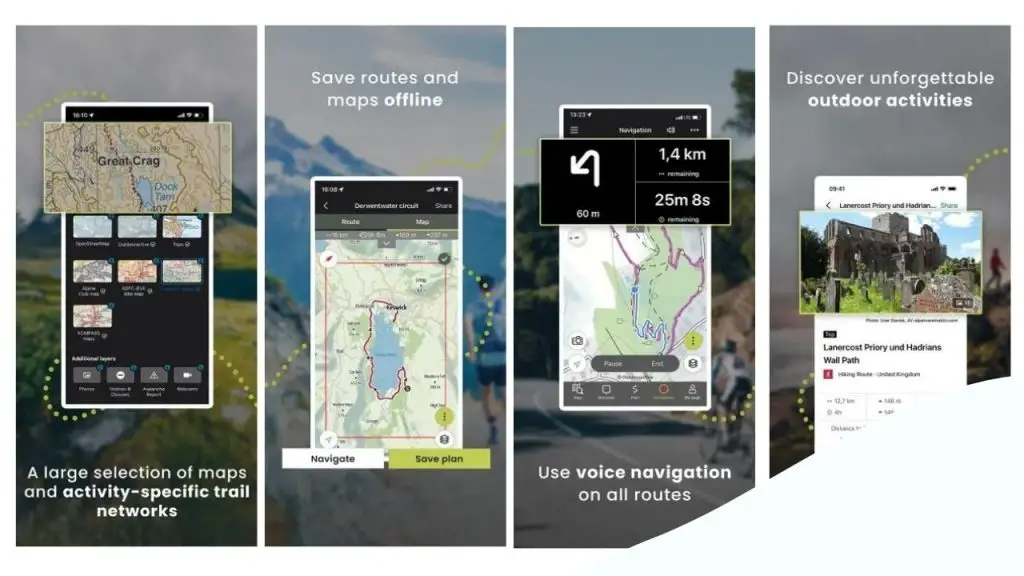
Get Outdooractive if you own an Apple Watch and enjoy activities such as biking, hiking, or walking.
The app features a range of route planners to facilitate a hassle-free navigation. There’s even an option to download routes and save various points of interest along the way.
What I find particularly interesting about Outdooractive is that it enables you to add interesting points and photos to your locations. And as you walk, hike, or cycle, it will record your trails and save waypoints to give you the best user experience.
Price: Free
7. What3Words Navigation & Maps
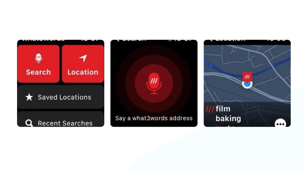
A majority of UK delivery companies and emergency services use What3Words because of location accuracy. It’s also the main reason why I recommend it.
With this app, you can:
- Arrange meetings at locations you prefer.
- Bookmark locations you like and categorize them as you wish.
- Find emergency services whenever you need them.
You don’t have to worry about where to start because What3Words has intelligent suggestions built based on the auto-intelligence prompt feature.
Lastly, something else that makes this technology stand out is the multitude of languages it offers. In addition to English, which is the default language, the app is available in 49 other language options.
Price: Free
8. Gaia GPS Mobile Trail Maps
You’ll love Gaia GPS because it offers hi-resolution satellite imagery, which ensures you get the best camping space on the map. It even has a ton of topographic maps, which you can use offline.
It seems to me that the app’s focus is to help you find new and unknown campsites. Along the way, you’ll discover new routes and understand off road trails better, without having to connect your Apple Watch or iPhone to the internet.
Like Wikiloc, Gaia GPS can predict the weather. And this is helpful because it gives you an idea of what to wear before you head out depending on the current weather condition.
Price: Free